
Following on with their monthly imagery update cycles, the Google Earth and Google Maps Imagery team have released another high-resolution aerial and satellite imagery update that again includes areas of Ireland, and in particular Derry/Londonderry, Mayo, Meath, Sligo, and Tyrone.

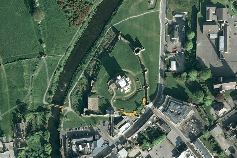
Trim Castle, Trim, Ireland - One of the areas to receive image updates
The official Google announcement on the Google LatLong blog features an image of Trim Castle, similar to the one above, with the following statement,
“The castle is the remains of Ireland’s largest and dates to the 11th century. As with the Westminster Abbey location, make sure to click on the Photos layer and check out the pano360 images; the immersive images include 360° views of the castle interior.”
The announcement also introduces a really simple but useful app, known as Follow Your World, that notifies you when a specific area in Google Earth receives an imagery update. To see an overlay of all the areas and countries updated, download and open this KML file in Google Earth.